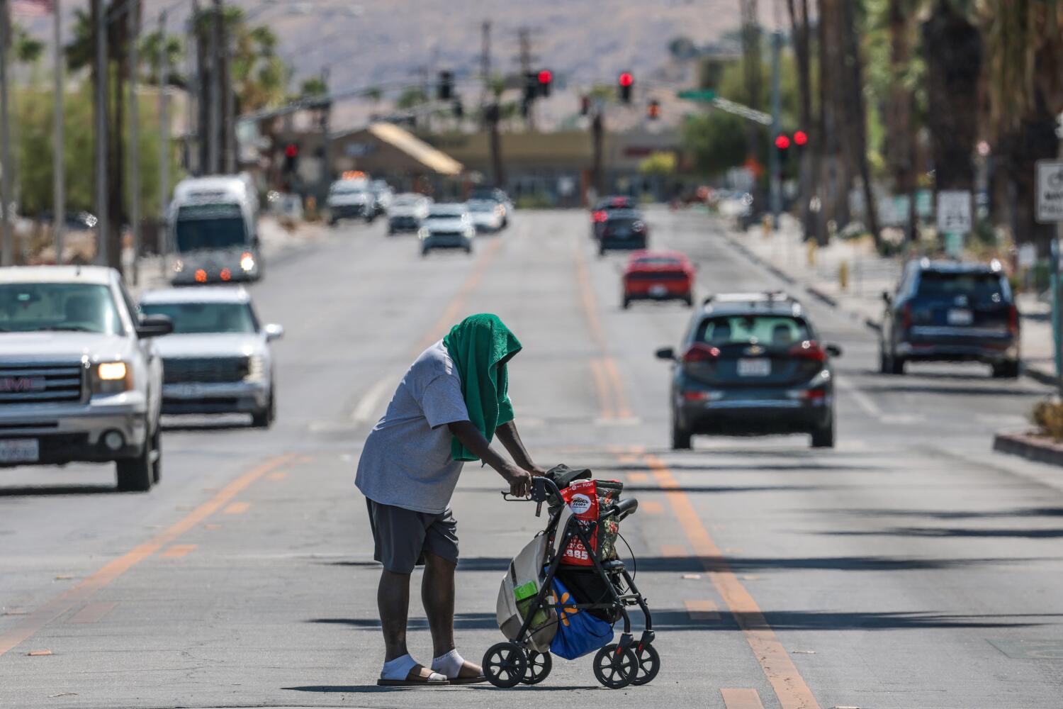
If you stepped outside this week and felt like you walked directly into an oven, you aren't imagining things. Southern California is currently baking under the most intense heat wave of the summer season, and the numbers are staggering. A stubborn high-pressure ridge locked over the Southwest is pumping relentless heat straight into the region, pushing temperatures 8 to 12 degrees above normal.
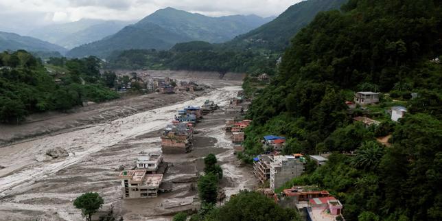
Knowing exactly how hot it will get and when this oppressive dome finally breaks can save you from a miserable week or worse, heat-related illness. Expanding on this idea, you can find more in: What the China Nepal Border Landslide Tells Us About Himalayan Infrastructure Risks.
The Peak Intensity Numbers
The National Weather Service notes that the worst of the heat is concentrating right now across the valleys, mountains, and inland areas. If you live 5 to 10 miles inland from the beaches, expect daytime highs ranging consistently from 100 to 110 degrees.
Inland Empire hotspots like the Coachella Valley and San Gorgonio Pass are staring down scorching readings of up to 117 degrees. Even coastal zones aren't entirely safe from the burn. While immediate beaches see some marine buffer, places just a few miles inland are dealing with a brutal mix of high heat and rising humidity that makes the air feel thick and suffocating. Experts at BBC News have shared their thoughts on this situation.
Downtown Los Angeles smashed into the upper 90s, while the San Fernando, Santa Clarita, and Antelope valleys easily cleared the triple-digit mark. Record-shattering temperatures are popping up everywhere. Long Beach hit 99 degrees, Santa Monica reached 87, and Camarillo spiked to an astonishing 105 degrees.
Why The Nights Are Making It Worse
The real danger of this particular weather event isn't just the daytime sun. It's the complete lack of nighttime cooling.
When the sun goes down, temperatures in the valleys are only dropping into the mid-to-lower 70s. Coastal overnight lows are staying unusually elevated as well.
Your body needs a break to cool down and recover from heat stress. When overnight lows stay trapped in the 70s without adequate air conditioning, that biological reset button never gets pushed. This cumulative strain is why local fire departments have ramped up staffing and pre-positioned resources, and why health officials issued widespread extreme heat warnings across multiple counties.
When Does The Heat Wave End?
Relief is stubbornly slow on the horizon, but a timeline is finally coming into focus.
The peak of the heat wave runs firmly through Thursday, with extreme heat warnings staying active across the deserts, mountains, and valleys through Friday evening.
Modest cooling is anticipated to begin by Saturday, but don't expect an instant winter coat moment. Leftover heat will keep inland areas lingering in the upper 90s to low hundreds over the weekend, and deserts will stubbornly stay above 110. The ridge will slowly weaken, allowing a more traditional marine layer to creep back inland and gradually restore normal late-summer patterns by early next week.
Beat the remaining days of this furnace by limiting outdoor physical activity during peak afternoon hours, checking on vulnerable neighbors, and staying aggressively hydrated.