Every time a teenager gets stuck on a cliff face because an artificial intelligence app suggested a goat path, the media rolls out the same tired panic porn. Headlines scream about reckless algorithms, clueless kids, and the death of traditional wilderness survival. Search engines fill up with hand-wringing queries asking if chatbots are going to murder every hiker in the backcountry.
It is absolute theater. If you liked this post, you should read: this related article.
Let us look at the recent media circus surrounding a sixteen-year-old rescued from a treacherous ledge after trusting a route generated by a language model. The lazy consensus from every armchair expert is predictable: ban conversational bots from the trail, burn the servers, and return to paper topographic maps folded like origami by park rangers.
That diagnosis is not just wrong. It is dangerous. For another angle on this development, refer to the recent update from TechCrunch.
The kid did not fail because he used an algorithm. He failed because he treated a probability generator like an omniscient guide. Blaming the AI for a bad hiking route is like blaming a chainsaw for cutting off your thumb when you forgot to read the manual. We are watching a cultural panic over tool literacy, masquerading as a debate about public safety.
I have spent two decades analyzing how humans interact with complex decision-making systems in high-stakes environments. I have seen tech companies blow millions building bloated route-planning suites that optimize for pretty graphics rather than topographical reality. Meanwhile, the actual mechanics of outdoor navigation remain poorly understood by the very people stepping off the asphalt.
The Flawed Premise of Trail Technology
The public narrative assumes that traditional navigation tools are foolproof and digital ones are inherently deceptive. That is a comforting fiction. Paper maps do not lie, but humans misinterpret contour lines with astonishing creativity every single day. A topographic map is just data on dead trees. An LLM is data aggregated from thousands of trip reports, trail forums, and crowdsourced GPS traces.
When you ask a generic language model for a hiking route, you are asking a system optimized for language prediction to synthesize geographical trivia. It does not possess situational awareness. It does not know that last week's rockslide turned a Class 2 scramble into a vertical death trap.
People ask whether AI tools can safely replace guidebooks. The question itself exposes a fundamental misunderstanding of what these systems actually do. They do not replace guides; they act as a force multiplier for your own ignorance. If you do not know how to read a slope angle or identify exposure, any tool—electronic or paper—will eventually lead you over a cliff.
The real scandal isn't that a chatbot suggested a dangerous ledge. The scandal is that we have raised a generation of outdoor enthusiasts who believe that clicking a button substitutes for situational competence.
The Mechanics of Backcountry Probability
Let us dissect what actually happened on that ledge. Language models operate on statistical associations. When prompted for a "scenic hiking loop with a view," the neural network strings together words and geographic markers that frequently co-occur in its training corpus. It correlates the words "scenic," "loop," and "trailhead" without running a physics simulation of gravity or analyzing the vertical drop between contour intervals.
If the internet contains ten trip reports where hikers foolishly referred to a sheer drop-off as a "fun little shortcut," the AI treats that shortcut as a valid route component. It has no concept of consequence.
[User Prompt] ---> [Statistical Association] ---> [Plausible-Sounding Route] ---> [Reality Check Missing]
This is where the contrarian truth hits hardest: The problem is not that the AI lied. The problem is that the AI told the truth about what the internet says, and the internet is full of reckless amateurs.
When you ask an LLM for wilderness advice, you are essentially polling a room filled with every anonymous blogger, weekend warrior, and trail runner who ever posted a track online. Some of those sources survived sheer luck. Others exaggerated their difficulty ratings. The chatbot aggregates the collective delusion of the web and spits it back to you with absolute, unearned confidence.
Why Banning the Bot Makes Us Denser
The knee-jerk regulatory impulse is to restrict these tools. Parks want geofencing. Safety advocates want warning labels plastered across every tech interface. This is paternalistic nonsense that achieves the exact opposite of its intent.
When you shield people from bad digital advice by locking down information, you breed fragility. You create hikers who rely entirely on designated, sanitized greenway corridors because they have never been forced to develop critical spatial reasoning.
Imagine a scenario where every digital mapping app and language model is stripped of off-trail capability. Hikers retreat to rigid, government-approved paths. Trail erosion spikes because volume concentrates on fragile ecosystems. Then, a freak storm or fallen tree blocks the main artery, and travelers find themselves utterly helpless because they never learned how to evaluate an alternative line of sight.
The solution to bad tool use is not less tool use. It is aggressive, brutal honesty about the limitations of the medium.
The Uncomfortable Reality of My Approach
My stance has a dark side, and I will not hide it. By advocating for open tool usage paired with radical personal responsibility, I accept that some people will make catastrophic errors.
When you tell users that they can use advanced software for route planning, but that they must cross-reference every waypoint against satellite imagery, local weather feeds, and hard vector maps, you alienate the convenience seekers. People want an app that says "go here, do this, stay alive." They do not want to hear that software is merely a brainstorming partner, not a babysitter.
My method demands friction. It demands that you pull up a slope-shaded map layer, check the aspect ratio of the terrain, and ask yourself what happens if visibility drops to zero. That is exhausting. It requires cognitive labor that modern software is specifically designed to eliminate.
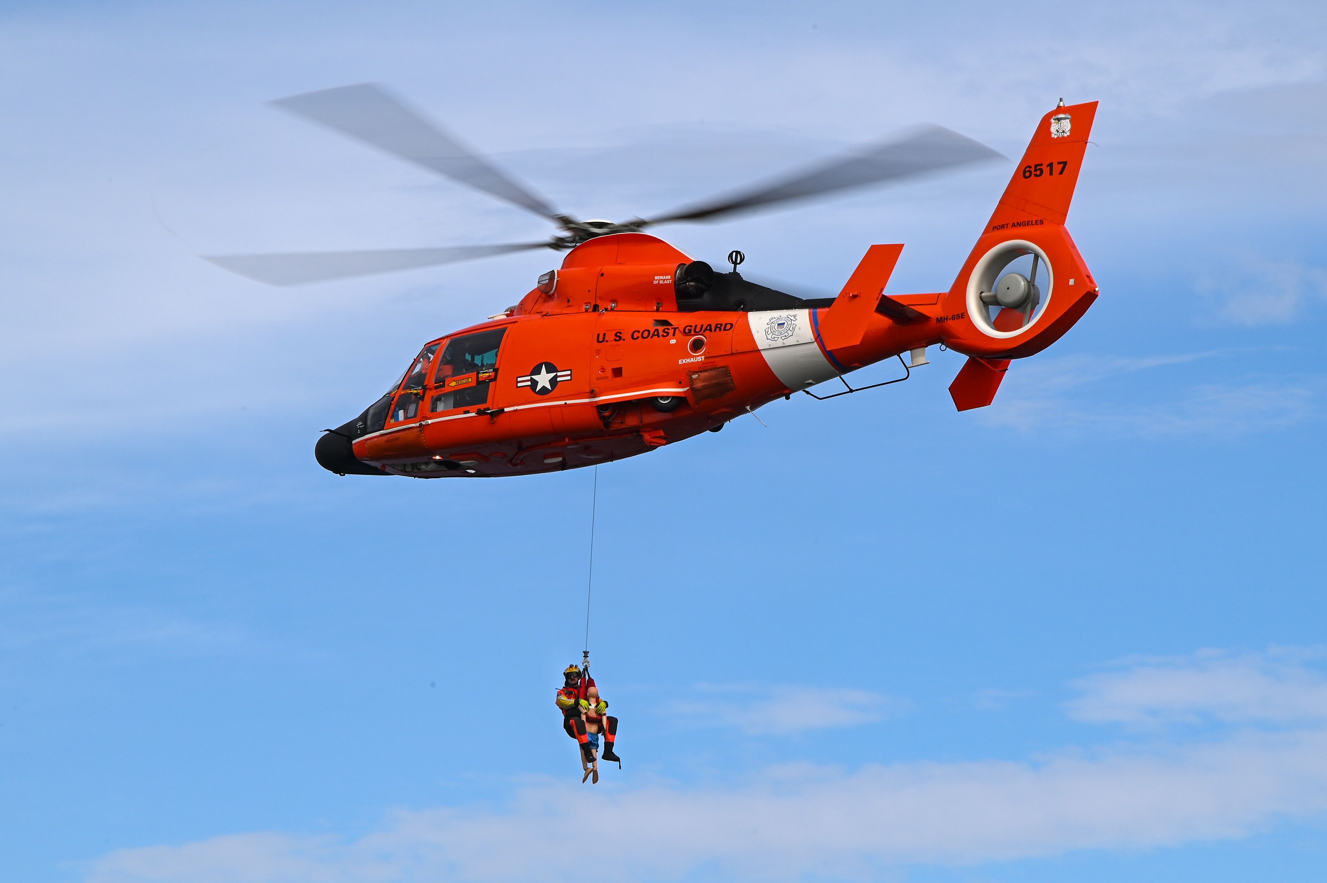
Yet, that labor is the exact barrier that keeps you out of the rescue helicopter.
Stop Asking the Wrong Questions
People keep asking: "How can we make AI models smart enough to keep hikers safe?"
Wrong question.
The right question is: "Why do we expect software to care more about our survival than we do?"
The rescue industry thrives on the myth of the innocent victim hoodwinked by technology. It shifts the blame from poor preparation to novel gadgets. It lets hikers off the hook for failing to carry a Garmin inReach, failing to check avalanche or weather reports, and failing to turn around when the terrain gets sketchy.
If you are heading into the backcountry, drop the illusion that any device—silicon or paper—has your back. The mountain does not care about your prompt engineering.
Stop treating chatbots like mountain guides. Stop treating apps like digital umbilical cords. Look at the terrain, check your ego, and remember that when gravity stops negotiating, no algorithm is coming down that cliff to catch you.

