We are conditioned to look up when we worry about the sky. We squint at contrails, track shifting weather patterns, and measure the thickness of the haze hanging over the downtown skyline. The city gets the blame. The city gets the sensors. The city gets the sprawling networks of expensive monitoring stations designed to catch every molecule of carbon dioxide we exhale into the industrial ether.
We assume the country is safe.
Drive out past the outer ring of strip malls, past the last housing development where the pavement surrenders to cracked asphalt and eventually dirt, and the air changes. It smells like crushed pine needles, baked earth, and wild grass. It looks empty. That emptiness tricks us. We think an absence of people means an absence of consequence.
(Note: All descriptions of sensory experiences and the following hypothetical resident are narrative devices used to illustrate actual atmospheric mechanics.)
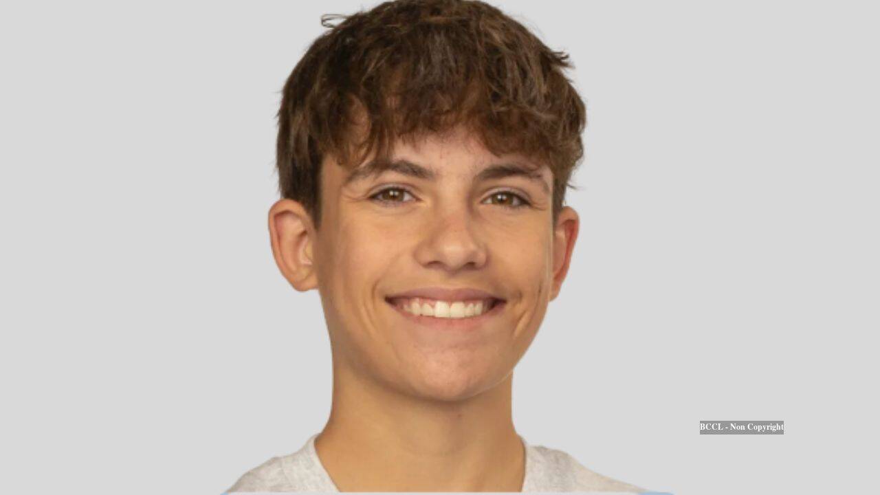
Imagine an eighth-grade student standing in an open field somewhere in rural Arizona. Her name is Maya, and she is holding a controller with trembling thumbs. Attached to the carbon-fiber frame above her is a custom-rigged sensor package humming with quiet ambition. She is not old enough to drive a car, but she is old enough to notice that the official maps do not match what her lungs tell her when she walks the perimeter of her family's property during the dead calm of a desert dawn.
She pushes the throttle forward. The quadcopter ascends, slicing upward through the invisible columns of the lower troposphere.
What she discovers up there breaks a comforting illusion.
The Weight We Cannot See
Carbon dioxide is heavy. Molecularly speaking, it is a bloated giant compared to the nitrogen and oxygen that make up the vast majority of the air we breathe. A single carbon atom bonded tightly with two oxygen atoms carries a weight of 44 atomic mass units, leaving nitrogen at 28 and oxygen at 32.
In a high school chemistry textbook, this is a neat trivia point. In the physical world, it is a gravity trap.
We tend to think of greenhouse gases as an even, uniform blanket draped gently over the entire globe. But gases behave under the rules of fluid dynamics and thermodynamics, not political boundaries. When carbon dioxide is released—whether from tailpipes, decaying organic matter, agricultural machinery, or industrial processing—it does not instantly shoot straight up into the stratosphere to mingle happily with the ozone layer.
It pools.
And in wide-open rural spaces, where towering skyscrapers do not exist to mechanically churn the lower atmosphere, something strange and counterintuitive happens. The ground itself holds the breath of the land.
When Maya's drone climbs through the vertical column, the telemetry data streaming back to her laptop tells an unexpected story. Down at the surface, hovering right where crops grow and insects crawl and humans walk, the carbon dioxide concentrations spike. They routinely outstrip the readings recorded in bustling metropolitan centers miles away.
The city has the heavy traffic, yes. But the city has the wind-tunnel effect of high-rise architecture, the relentless thermal updrafts created by millions of square feet of baking concrete, and a constant atmospheric churn that acts like an eggbeater, mixing the air column from top to bottom.
The country does not.
The Quiet Trap of the Horizon
Consider what happens when the sun dips below the jagged silhouette of a distant mountain range.
During the day, solar radiation warms the earth. That heat creates thermals—invisible elevators of warm air that lift dust, pollen, and gases high into the sky. Rural areas are masters of this daytime dispersal. But the moment night falls, the desert radiates its heat back into space with terrifying efficiency. The ground cools down rapidly, chilling the air immediately touching it.
Cold air is dense. It sinks. It hugs the dirt.
If there is no wind—and in many rural valleys, nighttime brings a dead, heavy stillness—that cold surface air forms a lid. It creates what meteorologists call a nocturnal inversion layer. Everything emitted near the ground stays near the ground.
Maya's drone flights caught this dynamic in high resolution. By programming her aircraft to hover at staggered altitudes—ten feet, fifty feet, one hundred feet—she mapped a vertical gradient that stunned local scientists. At ten feet, the air was saturated with a thick, heavy layer of carbon dioxide that refused to rise. At one hundred feet, the numbers plummeted back to expected background levels.
The pollution was trapped in a microscopic layer right above the soil.
This changes how we must look at environmental monitoring. For decades, climate science has relied on centralized, macro-level observation towers placed strategically across continents. These towers are engineering marvels. They are also terribly lonely. Often spaced dozens or hundreds of miles apart, they average out vast expanses of terrain, smoothing over the jagged local realities of micro-climates and valley floors.
An average is a polite fiction. It tells you what is happening everywhere in general while hiding what is happening right here in particular.
The Small Hands on the Controls
There is a profound humility in watching a teenager outsmart a blind spot in institutional science.
Maya did not have a million-dollar grant from a federal agency. She had a hobbyist drone, a commercial gas sensor wired into an open-source microcontroller, and a stubborn refusal to accept the textbook explanation that rural areas are automatically clean havens of pristine air.
She spent months calibrating her equipment. She accounted for ambient temperature shifts that can throw off electrochemical sensors. She factored in relative humidity, knowing that moisture in the air can stubbornly cling to sensor membranes and skew readings. She flew at dawn, at noon, at dusk, and in the pitch-black hours of midnight, logging hundreds of flight paths across agricultural fields, scrubland, and riverbeds.
Her findings did not emerge from a computer simulation or a climate model run on a supercomputer in Geneva. They emerged from the dust of rural Arizona, tracked one battery charge at a time.
When she presented her study, the traditional academic reaction was a mix of skepticism and eventual awe. How could an eighth-grader notice something that national monitoring grids missed?
The answer is simple resolution.
Big science looks at the forest. Maya looked at the individual needles. By shrinking the scale of observation down to the micro-level, she exposed a blind spot born of scale bias. We built our monitoring networks to catch the big plumes coming out of smokestacks in industrial corridors. We forgot to look at the ground beneath our feet in places where nobody is watching.
The Stakes in the Soil
Why does a pocket of heavy carbon dioxide matter in a quiet valley with no people around?
Because the land itself is breathing.
Soil is not a dead, inert mixture of dirt and rocks. It is a dense, hyper-active biological metropolis. Billions of microbes, fungi, earthworms, and plant roots are constantly metabolizing organic matter, consuming oxygen, and exhaling carbon dioxide. In healthy, biodiverse soil, this respiration is part of an ancient, beautiful cycle.
But when agricultural practices disrupt that soil—through intensive tilling that rips apart fungal networks, or through chemical applications that alter microbial balance—the rate and nature of that respiration change. Add in the localized stagnation of a rural basin during a temperature inversion, and that biological breath can accumulate in ways we are only beginning to comprehend.
Plants need carbon dioxide, yes. But an unmoving, hyper-concentrated layer of gas at the surface creates localized physiological stress for low-lying flora and fauna. More importantly, it serves as a glaring indicator of how poorly our macro-scale environmental models capture localized reality.
If we do not know what is happening ten feet off the ground in our own backyards, how can we accurately predict the cascading effects of changing climate pressures on local ecosystems?
We cannot. We have been flying blind, looking at averages while the specifics slip through our fingers like dry desert sand.
The Open Sky Ahead
The drone touches down with a soft, plastic click against the gravel. The rotors spin down from a high-pitched whine to a gentle deceleration, finally falling silent.
The air around the landing site smells of creosote after a rare flash of rain. It feels clean. It feels harmless.
Yet on the laptop screen glowing in the fading light, the data logs tell a different, more complex story. They remind us that the world is infinitely more intricate than our broad strokes allow for. They remind us that truth is rarely found by sitting in a centralized office looking at a national average map.
It is found outside. In the dirt. In the quiet hours before dawn when the air stands still and heavy.
And sometimes, it is found by someone who has not yet learned what is supposed to be impossible, lifting a small plastic machine into the dark to measure the breath of the earth.