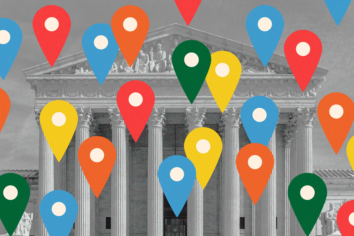
The modern intersection of law enforcement and digital location data has reached a point of systemic failure where the 18th-century "particularity" requirement of the Fourth Amendment meets the 21st-century reality of ubiquitous data harvesting. The Supreme Court's current deliberation over geofence warrants—requests that compel a provider to search an entire database for all users within a specific geographic area—represents a fundamental shift from investigating a person of interest to investigating a set of coordinates. This shift necessitates a rigorous framework to evaluate whether these warrants are constitutional tools or digital general warrants.
The Mechanism of Data Aggregation and Judicial Oversight
To analyze the lawfulness of broad police requests, one must first define the technical architecture of the data in question. Most "geofence" warrants target Google’s Sensorvault, a database containing precise location history for hundreds of millions of users.
The search process typically follows a three-stage filter:
- Spatial-Temporal Filtering: Law enforcement defines a "geofence" (a polygon on a map) and a time window. Google identifies every device that recorded a location point within those bounds.
- Anonymized Pattern Analysis: Google provides anonymized identifiers and movement patterns for all devices caught in the fence. Police review this to find "suspicious" behavior—such as a device moving toward and away from a crime scene.
- De-anonymization: Police request the identifying account information (name, email) for the specific devices they believe are relevant.
The legal tension arises from the fact that to find one suspect, the government effectively searches the private data of hundreds or thousands of innocent bystanders. This creates a "search-to-seizure ratio" that challenges the historical definition of probable cause.
The Probable Cause Paradox in Geofence Warrants
Traditional warrants require probable cause that a specific individual committed a crime. Geofence warrants invert this. They establish probable cause that a crime occurred at a location, then use the warrant itself to identify who was present. This logical inversion creates three distinct points of failure:
- The Overbreadth Variable: If a geofence is drawn in a high-density urban area (e.g., a Manhattan street corner), the number of innocent "hits" increases exponentially relative to the crime-related data. The Fourth Amendment's particularity requirement acts as a constraint on the scope of the search. When the scope is defined by geography rather than identity, the particularity vanishes.
- The Proximity Error: Physical proximity to a crime does not equal evidentiary relevance. Digital "noise"—such as a person in an adjacent apartment or a passenger in a passing car—is captured with the same weight as the perpetrator.
- The Third-Party Doctrine Strain: Historically, the Third-Party Doctrine (established in Smith v. Maryland) suggests that users lose an expectation of privacy for information they voluntarily share with companies. However, Carpenter v. United States (2018) signaled a retreat from this, noting that cell phone location data is "qualitatively different" because it provides an "all-encompassing record of the holder’s movements."
The Cost Function of Privacy Erosion
The societal cost of broad location requests can be quantified through the lens of "chilling effects" and "false positive risk."
The False Positive Risk Formula
The probability of an innocent individual being targeted ($P_i$) is a function of the geofence area ($A$), the population density ($D$), and the temporal window ($T$):
$$P_i \propto A \cdot D \cdot T$$
As $A$ or $T$ increases, the likelihood of capturing non-relevant data approaches 100%. For law enforcement, the "utility" of the warrant must be balanced against this intrusion. If a warrant captures 500 people to find one suspect, the "privacy-to-evidence ratio" is 500:1. Without a judicial cap on this ratio, the Fourth Amendment's protection against "unreasonable" searches becomes a matter of technical feasibility rather than constitutional right.
Structural Failures in Current Judicial Review
Judges often lack the technical literacy to evaluate the "granularity" of a geofence request. A "50-meter radius" sounds small in a courtroom, but in a dense city, that radius encompasses multiple multi-story buildings.
The second limitation is the "Temporal Lag." Location data is often uploaded in batches or triggered by specific app events (e.g., opening a map). A person might appear to be in a geofence at 2:00 PM because their last data ping was at that time, even if they had left the area ten minutes prior. This leads to "ghost presence," where innocent individuals are tied to crime scenes based on stale metadata.
The Three Pillars of Constitutional Rectification
If the Supreme Court is to maintain the integrity of the Fourth Amendment while allowing for modern investigative techniques, it must move toward a more rigid, three-pillar framework:
- Ex-Ante Minimization: Warrants must mandate that providers use the least intrusive method possible. If a crime occurred inside a specific room, the geofence should not extend to the street.
- Mandatory Neutral Third-Party Review: Before de-anonymization occurs, a magistrate or technical master must review the anonymized movement patterns to ensure the police have a specific, articulable reason to unmask a particular user.
- Strict Temporal Constraints: The "window" of a search must be measured in minutes, not hours. Long-duration geofences (e.g., "all day Monday") function as a form of mass surveillance and should be per se unconstitutional.
The Economic Incentive for Over-Collection
Data brokers and tech giants have an economic incentive to collect granular location data for advertising. This "surveillance capitalism" creates the very pool of data that law enforcement then "skims." The legality of broad police requests is inextricably linked to the legality of the initial data collection. If companies were restricted in how they store "passive" location data—data collected when an app is not in use—the pool of data available for geofencing would shrink, naturally aligning the technology with constitutional constraints.
Strategic Trajectory for Legal and Tech Sectors
The current legal ambiguity creates a high-variance environment for tech companies. Google’s recent shift to "on-device" storage for Location History is a direct strategic response to the litigation burden of geofence warrants. By moving the data from the cloud to the user’s physical device, Google effectively "deputizes" the user as the gatekeeper of their own data, forcing police to seize a physical phone rather than serve a bulk warrant.
For legal practitioners, the focus must shift from the "reasonableness" of the search to the "particularity" of the target. Challenges to geofence warrants should prioritize the technical impossibility of the warrant's scope—demonstrating that the geographic bounds were chosen arbitrarily and failed to account for the vertical density (floors of a building) or the margin of error in GPS trilateration.
The Supreme Court is likely to find that "mass" geofence warrants are the modern equivalent of the "General Warrants" the Founders specifically sought to ban. The path forward requires a mandate for "Geofence Precision Metrics." This would require law enforcement to provide a projected "hit rate" of relevant versus non-relevant devices before a warrant is signed. If the projected interference with innocent parties exceeds a defined threshold, the warrant must be denied as "unreasonable" under the Fourth Amendment.
The final strategic move for the judiciary is to decouple "data possession" from "data accessibility." Just because a company possesses a user's location does not grant the state a right to that data via a bulk query. The constitutional "friction" that existed in the physical world—the difficulty of tailing a thousand people simultaneously—must be artificially re-introduced into the digital world to prevent the total evaporation of the right to be left alone.